Case Study: Efficiency & ROI
How ClearSKY's single-API and analysis-ready imagery can save hundreds of hours and thousands of euros per large-scale project.
1. The Traditional Workflow
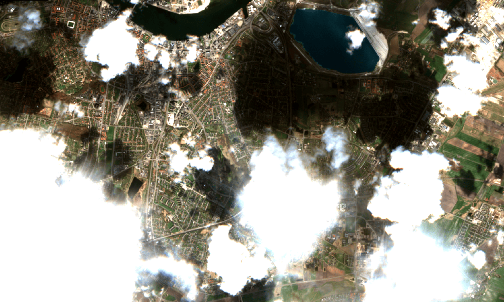
Most large-scale satellite projects juggle up to a dozen data streams (Sentinel, Landsat, Planet, etc.), each with its own API, formats, cloud masks and spectral bands. A dedicated analyst can typically spend anywhere between 30 – 400 hours detecting clouds and shadows, reprojections, mosaics and other merging techniques, and metadata before any actual analysis can begin. This work usually scaled linarly with the size of the project, meaning for large-scale prjects this necessary step can be a significant investment.
2. Our Analysis-Ready Data
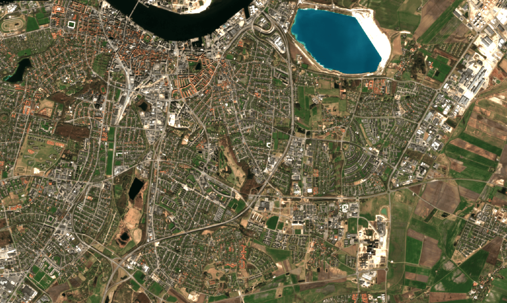
ClearSKY Vision fuses data from up to 12 differrent satellites into a single, cloud-free, orthorectified tile or composite service. No more cloud masking, shadow detection, reprojection or tile-stitching — just ready-to-use imagery. Our near real-time serivce can deliver individual fields scattered across countries or entire continents delivered as tiles. No matter the ordering flow the data is analysis-ready and delivered based on your requirements.
3. Transparent Savings & ROI
No more managing GBs of intermediate images and no processing required — ClearSKY does it all server-side. Your team can focus on insights, not infra. Plug in your own numbers below to see both per-project and annual cost impact.
*This calculator is for illustrative purposes. Adjust it based on your own team and project(s) scale.
4. Key Takeaways
90%
Prep & setup time reduction
1×
Single API integration
0 GB
Intermediate images to manage