Custom Enterprise Solutions
We build operator-grade pipelines for harmonization, fusion, and analysis-ready outputs. Integrate via API, object storage, or embedded widgets with enterprise SLAs.
What we deliver
A modular pipeline you can plug into your platform — from ingestion to analysis-ready outputs.
Harmonization
- Normalize sensor/instrument band layouts
- Radiometric alignment across constellations
- Synthetic bands when a sensor is missing them
Data fusion
- Optical + SAR fusion pipelines
- Boost effective revisit from daily → weekly
- Consistent time series without workflow hacks
Analysis-ready outputs
- BOA-style reflectance & metadata layers
- Uncertainty / QA masks as first-class outputs
- Custom indices & derived layers on request
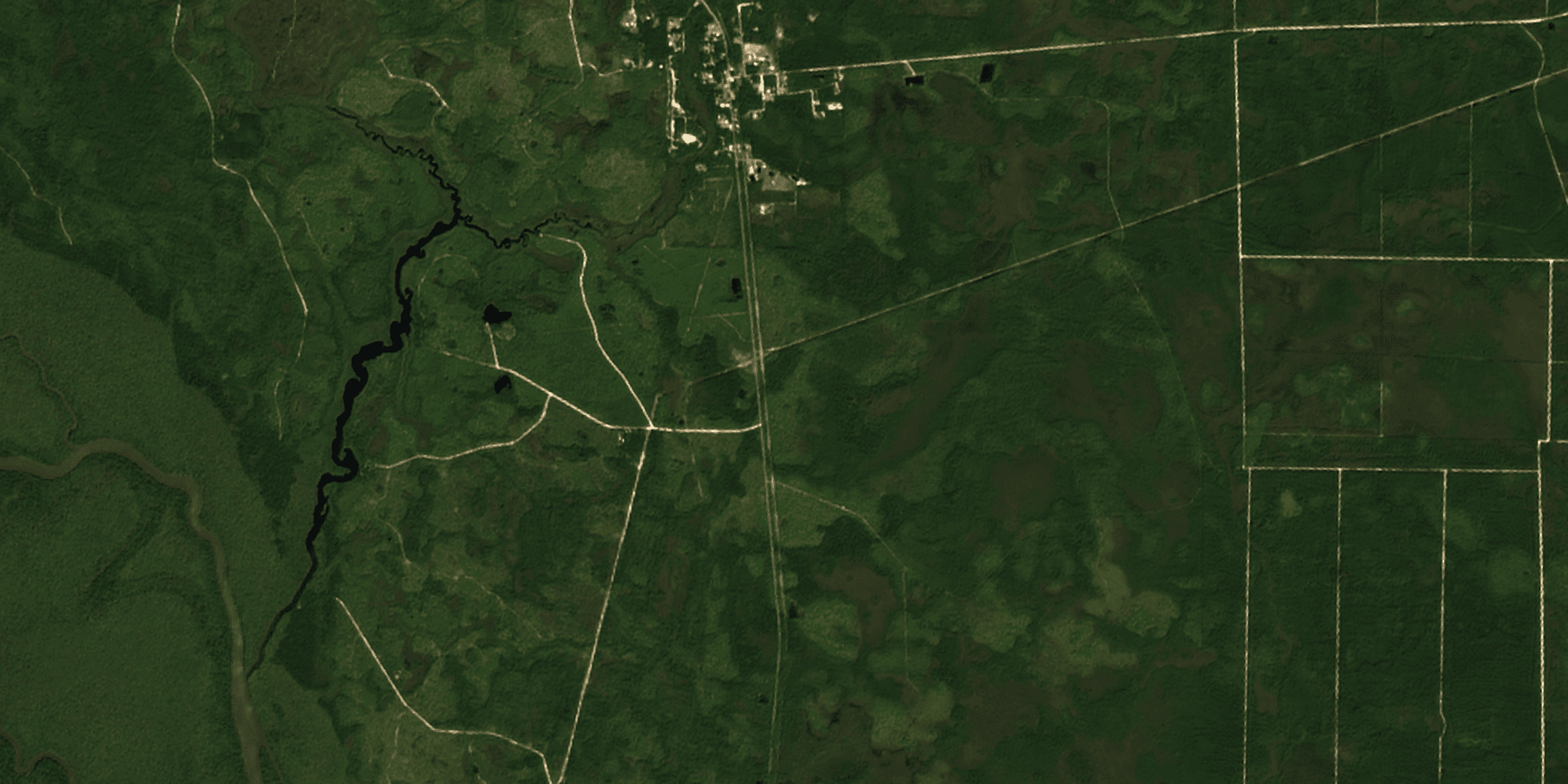
Example: a Landsat scene harmonized into Sentinel-2-like L2A output for consistent downstream usage.
Why partner with ClearSKY
Built for enterprise reality: SLAs, repeatability, and production-quality delivery — not demos.
Deep expertise
A team built around remote sensing production: operators, ML, and delivery engineering.
Actually customizable
Bands, cadence, AOI logic, delivery method, QA layers, and downstream formats — all configurable.
Platform integration
API-first delivery, S3-style buckets, or embedded widgets for your dashboard and customers.
Custom fusion pipeline
Plug in what you need — ingestion, harmonization, fusion, derived layers, delivery.
1. Ingest & normalize
- Optical, SAR, commercial & public
- Unify projections, resolutions & band maps
2. Harmonize & QA
- Cloud/terrain masks
- Uncertainty + quality layers
3. Fuse & generate
- Cross-sensor fusion models
- Indices, moisture, vegetation & change layers
4. Deliver & integrate
- API, object storage, GeoTIFF/COG
- Dashboards, alerts, and custom endpoints
Tell us your sensors, cadence, AOIs, and required outputs — we’ll propose a clean delivery plan.