Harmonization vs. Data Fusion: Making Multi-Sensor Imagery Agree and Work Together
2025-08-05 · 3 min read · Harmonization · Data Fusion · Sentinel-2 · SAR

TL;DR: Harmonization reduces systematic differences so sensors are comparable; fusion then integrates observations into a single best estimate. Harmonize first, fuse second, and publish QA/provenance.
Why this matters
Most areas cannot be monitored reliably with a single sensor. Clouds, revisit gaps, and seasonal constraints make multi-source pipelines the norm: Sentinel-2, Landsat, commercial optical, and SAR. That raises two practical questions: can we compare the inputs fairly, and can we combine them without inventing structure or smearing time? The first is harmonization; the second is fusion. Treating them separately yields smoother time-series, higher coverage in cloudy seasons, and analyses that stand up to audit.
Large public programs demonstrate the idea. NASA’s Harmonized Landsat–Sentinel-2 (HLS) aligns Landsat 8/9 and Sentinel-2 surface reflectance to a common standard before downstream products use the two streams together. Likewise, the Copernicus Sentinel-2 technical docs describe illumination/geometry considerations that harmonization must address before cross-date comparisons are safe.
HLS overview · Copernicus Sentinel-2 docs
What harmonization changes (and what it shouldn’t)
Harmonization starts by getting pixels to line up (orthorectification and co-registration) and by respecting spectral response differences rather than papering them over with histogram tricks. Bandpass mapping places, for example, Landsat’s NIR into Sentinel-2 space; BRDF/illumination normalization reduces angle-driven differences by referencing a standard sun/view geometry; and radiometric bias is corrected using pseudo-invariant features and stable targets. Over complex terrain, topographic and adjacency effects can be handled with DEM-aware methods to avoid bright snow or water contaminating neighbors. Done well, harmonization removes sensor idiosyncrasies while preserving the physics of the scene. Done poorly, it can imprint new artifacts or hide real variability.
What fusion tries to solve
Fusion answers a different question: having multiple observations, what single estimate should we deliver? Same-day fusion combines several passes (and sensors) from the same date to reduce cloud/haze while keeping a defensible nominal date. Temporal fusion reaches back to nearby prior dates if coverage is still thin, labeling those pixels so the provenance is clear. There are also spatial goals (sharpening structure using higher-resolution cues) and sensor-complementary goals (using SAR for all-weather continuity while optical provides spectral context). Good fusion is explicit about weights and uncertainty—e.g., down-weighting pixels with high cloud probability, poor geometry, or unstable aerosol estimates—so users can rely on the result without guessing how it was assembled.
Choosing a strategy
When extending an archive or doing cross-sensor studies, begin with harmonization so differences reflect the surface, not the sensor. When operating in cloudy seasons or when decisions depend on daily updates, fusion is essential to maintain continuity; prefer same-day fusion for date-critical use, falling back to prior-day inputs only when necessary and always with transparent QA. In practice, most robust systems do both: harmonize inputs to a common frame and then fuse to reach the coverage and stability the application needs.
ClearSKY in practice
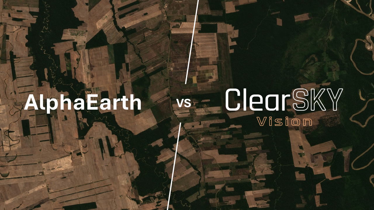
ClearSKY primarily applies data fusion—integrating all same-day observations first to keep the nominal date meaningful, and if needed, carefully adding prior-day inputs with explicit per-pixel provenance and weights to protect timeliness. We also harmonize Landsat archives into a Sentinel-2-like frame to unlock longer baselines for studies that need consistency back to the 1980s (see Harmonizing Landsat for Sentinel-2: Unlocking Data Back to 1984). Methods vary by region and season; models and order parameters are logged so results can be audited.


